
MOUND
Location
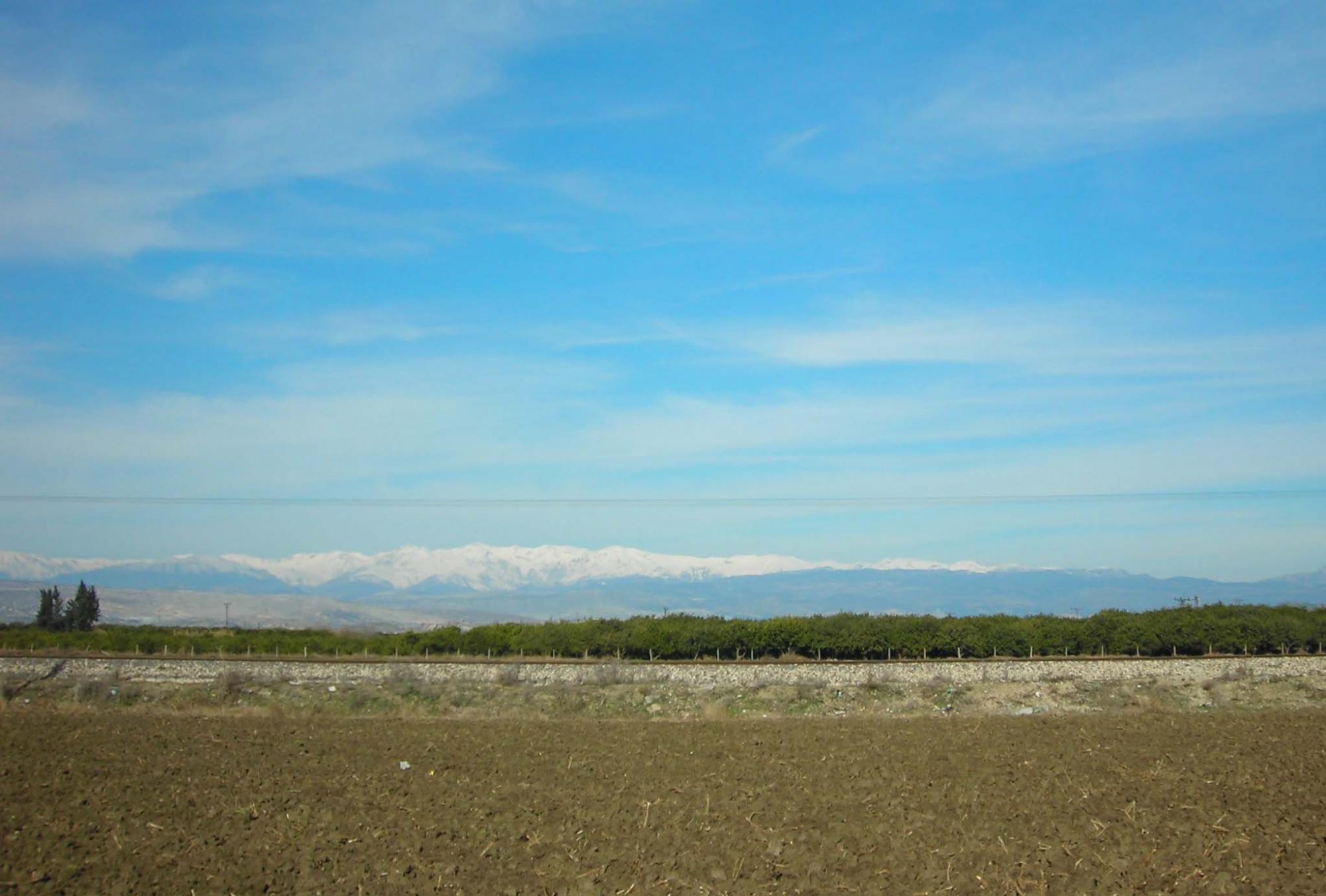
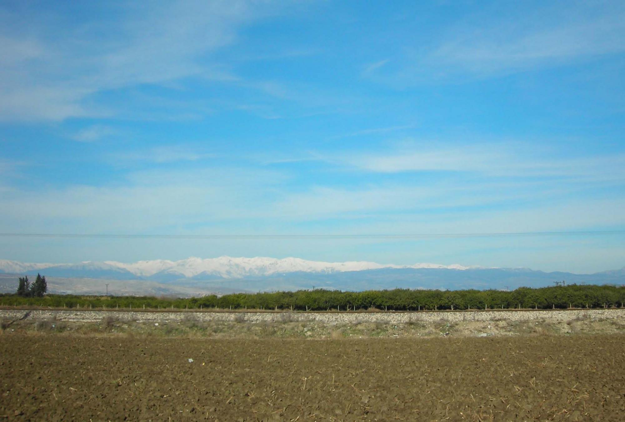
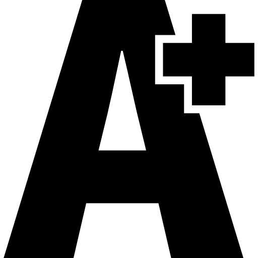
The mound located within the modern city of Tarsus is known today as Gözlükule, ‘tower with eyes.’ It is the highest point of the town, granting a clear view of the modern settlement around, as well as beyond into the plain and the delta of Berdan River to the south and the impressive Taurus range to the north. The name of this settlement is already attested in the Hittite period texts as Tarsa, which has withstood oblivion over several millennia and still lives on in the modern name ‘Tarsus.’
The mound lies to the south of modern Tarsus and rises more than 20 m above the ancient Cilician plain, today’s Çukurova. This fertile alluvial plain, known as Kizzuwatna in the Bronze Age and Que/Hiyawa in the Iron Age, is created by the silts carried by the rivers Berdan (Kydnos), Seyhan (Saros), and Ceyhan (Pyramos).
The topography and temperate climate of the region provide a generous landscape, yielding agricultural surplus, suitable areas for husbandry, and raw materials such as metals, minerals, and timber. Active trade routes, both in-land and sea-bound, were further incentives for settling here.
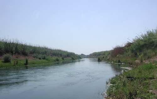
The Cilician Gates (Gülek Boğazı) is the main pass through the Taurus Range, and Gözlükule is the first settlement connecting Central Anatolia to the Mediterranean. Today, the Berdan River flows to the east of the mound, where it was redirected by the Byzantine Emperor Justinian in the 6th century AD due to frequent overflows.